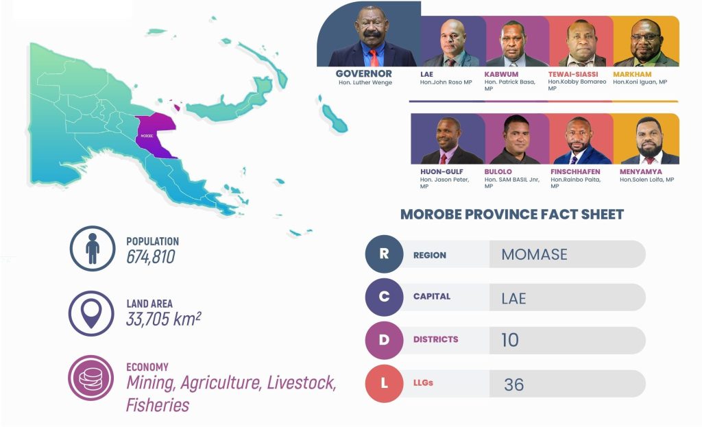
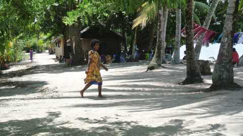
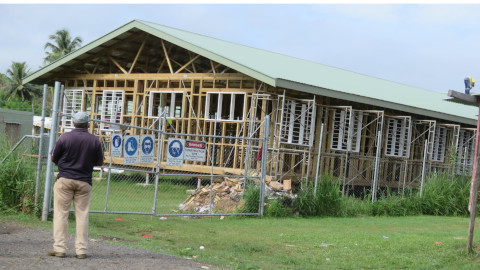
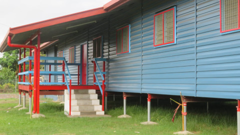
Morobe Province is the largest province in Papua New Guinea (PNG), covering a land area of 33,705 km2. It is also the most populous province in the country, with a population of 674,810 according to the last Census. The strategic location of the port of Lae has established Morobe Province as PNG’s industrial hub.
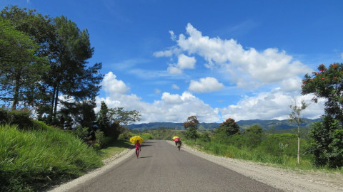
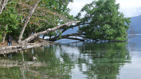
Morobe Province has diverse geography, including highlands, mountains, valleys, coastal areas, and islands. Each of these regions presents unique development challenges. Social issues that the provinicial administration related to law and order, migration, internal displacements, and the high cost of delivering goods and services to remote areas. Addressing these challenges is crucial for the sustainable development of the province.
Provincial Government
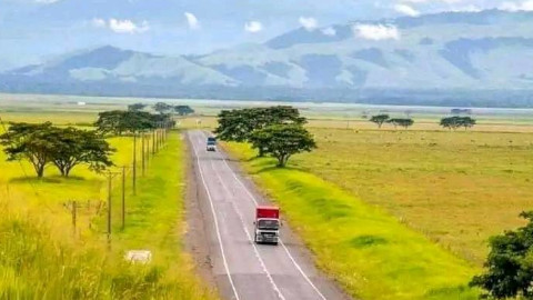
The economy is primarily driven by the exploitation of primary products, including agriculture, forestry, mining, and fishing. Agriculture, with a focus on horticulture, is the dominant sector. Coffee is the largest cash crop, followed by cocoa, cardamom, coconut, rice, and chilies. Livestock development is prominent in the Markham Valley, as well as in Wau and Bulolo Districts. However, the province faces challenges of poor infrastructure and weak service delivery often hinder its economic development. Other areas of economic focus include; forestry, fisheries, tourism, and light manufacturing. The mining industry is also experiencing a resurgence with the upcoming Wafi-Golpu mine. To maximize the utilization of limited resources, investments within the Medium-Term Development Plan IV (MTDP IV) will target these sectors, aiming to improve transport, logistics, marketing systems, and utility services, along with the establishment of growth centers.
Under the Planning and Service Delivery Frameworks, Morobe will develop their five-year Provincial and District Development Plans in alignment to the MTDP IV, and incorporate all the District minimum service needs (Table C1.2) and strategic economic investment opportunities (Table C4.3.2).